


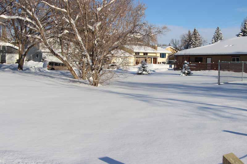
The snowfall from the initial week of October 2018, was both hectic for drivers and set a one day record for the month of October in Alberta.
Between 12:00 a.m. on October 1 through 12:00 a.m. on October 2, the Calgary International Airport reported a snowfall amount totaling 38cm.
Meteorologist for Environment Canada Brian Proctor says we haven't seen a barrage of snow like that in October for over 100 years.
"The previous record for October for any one day was 29.7 centimetres on October 4 in 1914. The one day amount with this snowfall was 32.8 [cms] on Tuesday October 2, and that really blew away the old record by nearly 10 centimetres."
Proctor says it wasn't only the Foothills region that got covered.
"Some of the other really significant amounts were Bragg Creek which got 60 centimetres, Canmore got anywhere from 40-50 centimetres, out in the Kananaskis region they reported upwards of 60 centimetres on the town-site, Coalman got 35-40 centimetres and Exshaw reported 45-50 centimetres."
So what caused this year to veer so far from the norm?
Proctor's says Southern Alberta was covered with a large section of sky, supercharged to create snowfall.
"The meteorological term for it was very strong dendritic growth, so that's the growth of the snow crystals themselves, so the atmosphere was primed to produce very significant amounts of snowfalls. So the dendritic growth where the snowflakes are produced, was very strongly organized vertically during this event. So it was really primed to produce more snowfall than we initially anticipated."
While the forecast anticipates some flurries on Monday October 8, it's likely we will have a break from the previous volume of snow for the rest of the month.
Send us your news tips, story ideas and comments at news@highriveronline.com


 Wed, Apr 17, 7:00 PM
 Full-time, Permanent, Communications/Media
 Featured


